HomeAbout UsCurrent Events
CGS Has Launched The Georgia 2021 Project Supported By The Challenge Fund, Within Czech-UNDP Partnership
CGS has launched the Georgia 2021 project supported by the Challenge Fund, within Czech-UNDP partnership
Author: Macron Software
CGS has launched the Georgia 2021 project supported by the Challenge Fund, within Czech-UNDP partnership
Martin Dostalík
Challenge Fund, within the Czech-UNDP Partnership (CUP) for Sustainable Development Goals between the Czech Development Agency and the United Nations Development Program has supported a project Methodology for the area assessment in terms of debris flow hazard using innovative technology. The main goal of CUP is to bring not only Czech expertise but also unique innovative solutions for sustainable development to partner countries.
The project will be conducted in cooperation between Czech Geological Survey (CGS) and Georgian National Environmental Agency (NEA) which is responsible for the monitoring, assessment and mapping of geological hazards in the country. The project will provide the NEA with a know-how to evaluate endangered areas for urban and infrastructure planning and development in terms of debris flow hazard more effectively. The project is implemented by CGS experts in engineering geology together with experts in remote sensing.
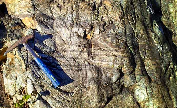
The project is focused on eliminating the hazard associated with frequent catastrophic debris flows causing serious socio-economic damages connected also with a loss of human lives in high-mountainous regions of Georgia. To deal with geohazards mitigation, a harmonized debris flow hazard assessment methodology will be developed and implemented into the activities of partner organization NEA. Based on the new methodology and field validation, a hazard map of Kazbegi massif test area will be produced with focus on geological aspects in urban and infrastructure planning and reduction of this type of natural hazards in vulnerable areas. Key elements of the methodology include the analysis of a digital terrain model and satellite mapping of geological hazards of all major river basins in the area of Kazbegi mountain. The surroundings of Mount Kazbek (5054 m a.s.l.) are historically known for frequent catastrophic Debris flows that threaten strategic infrastructure. This relatively young volcano rises on the northern border of Georgia and Russia. The monumental mountain is covered with glaciers that retreating according to the global trend. Some of the tragic debris flow events in 2002 and 2014 were caused by the collapse of part of a mountain glacier. Climate change in these glacial areas may therefore increase the susceptibility to geodynamic processes.
Geodynamic natural processes are very difficult to prevent. However, it is possible to mitigate their consequences to avoid disasters and loss. This is mainly due to effective spatial planning with high-quality engineering and geological data. This project will foster ways to a conceptual solution for risk mitigation and prevention.