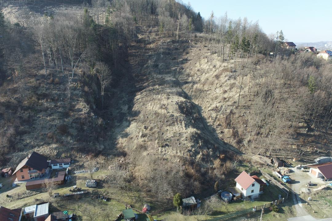
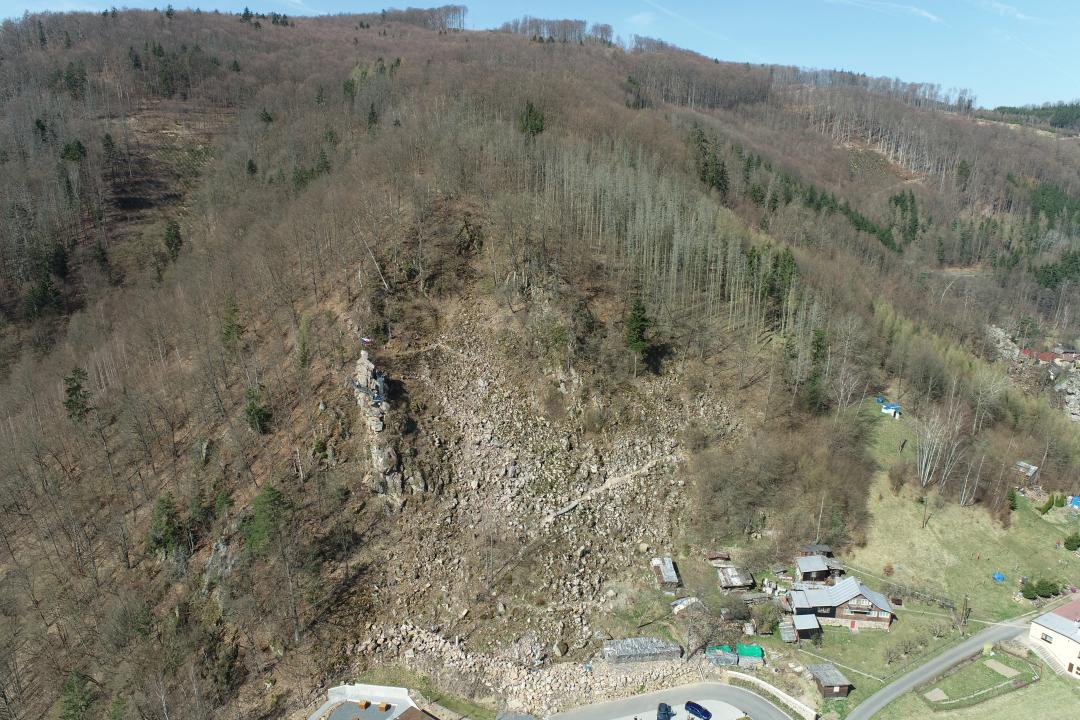
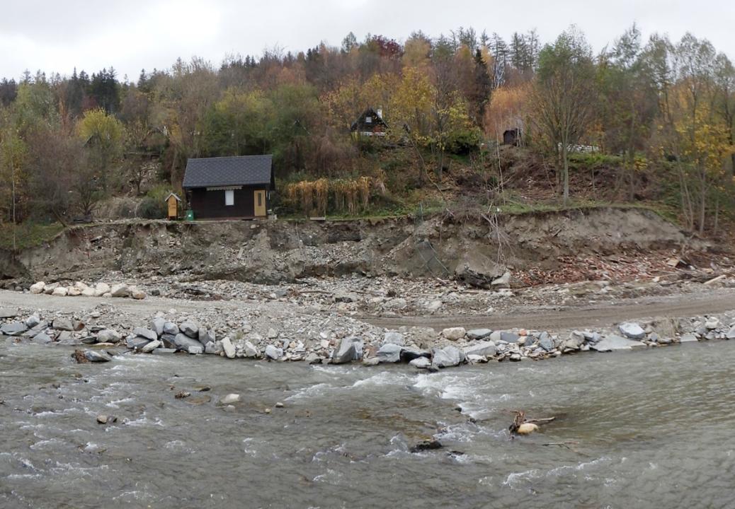
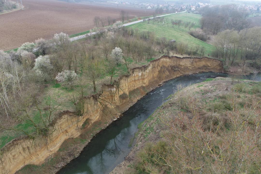
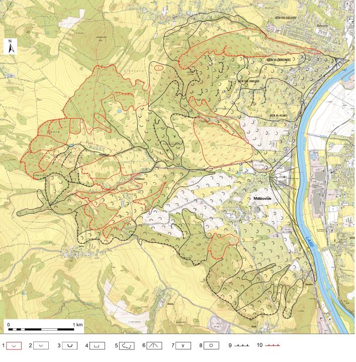
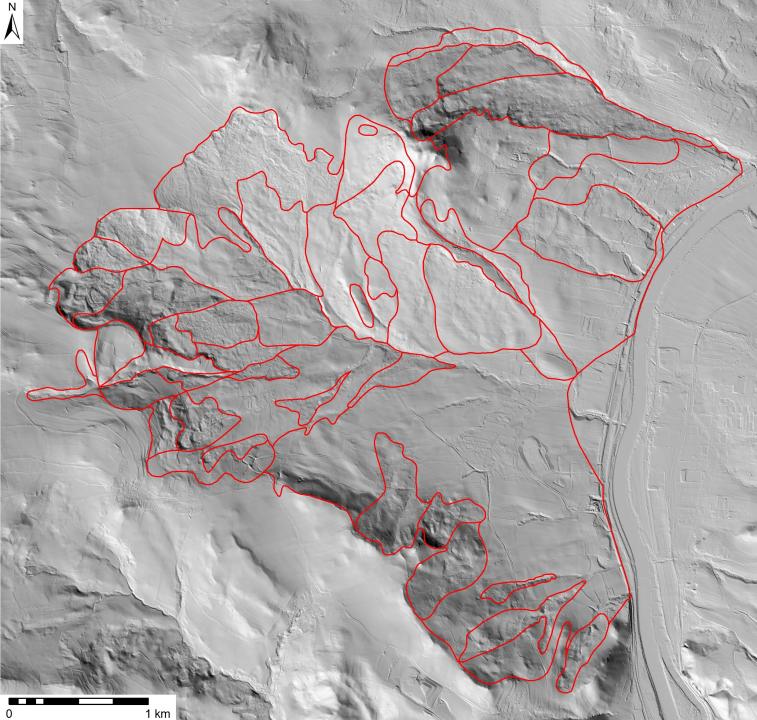
As part of its role in performing the state geological survey, the Czech Geological Survey (CGS) has long been dedicated to monitoring and assessing slope deformations, which represent a significant geological hazard. Key activities include engineering-geological mapping, recording and documentation of landslide phenomena, preparing expert reports and analyses, as well as archiving and processing related materials.
The mapping results are stored in the CGS information system’s text and graphical databases. Information about areas affected by slope deformations is available to the public via the Landslide Deformations map application.
CGS has been systematically mapping slope deformations since 1997. All activities are conducted in accordance with the current methodology and represent an important tool for land protection, crisis management, and spatial planning.