HomeAbout UsCurrent Events
Publication Of The First Geological Map Of The Northern Part Of James Ross Island In Antarctica
Publication of the first geological map of the northern part of James Ross Island in Antarctica
Author: Macron Software
Publication of the first geological map of the northern part of James Ross Island in Antarctica
Klára Froňková
The Czech Geological Survey published a 1:25,000 scale geological map of the northern part of James Ross Island, located east of the northernmost tip of the Antarctic Peninsula. This is the first geological map of this area. The map‘s authors are Czech Geological Survey experts Bedřich Mlčoch, Daniel Nývlt and Petr Mixa, who have long been involved in the geological mapping of the extensive local area. The map was also co-authored by other expedition participants to Antarctica, who took part in the mapping. Material for the field work, mainly dealing with Cretaceous sediments, were provided by colleagues from the Instituto Antártico Argentino.
The geological mapping was conducted mainly during the construction of the Czech Mendel Polar Station of Masaryk University. The expeditions in 20052010 were funded by a research and development programme under the Ministry of the Environment (Antarctic Research Programme). Compared with the original project, the geological mapping was more detailed covering the entire deglaciated area of the northern part of James Ross Island. D. Nývlt was instrumental in managing to obtain archival aerial photographs of the island from the British Antarctic Survey for the compilation of the 1:25,000 scale topographic map.
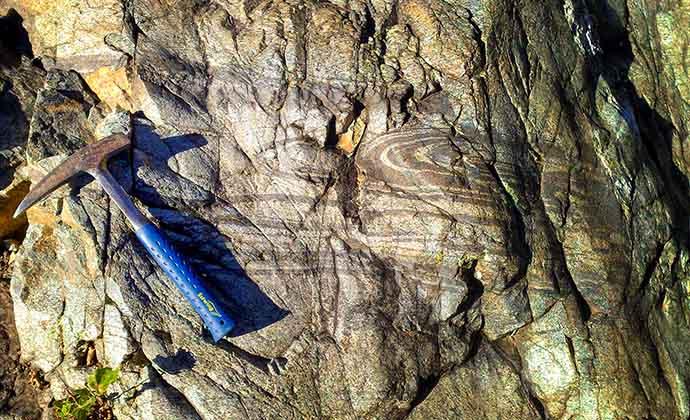
James Ross Island is located on the Antarctic Peninsula outside the Antarctic Circle. The northern part of the island represents the most extensive deglaciated area of Antarctica. The Upper Cretaceous sediments of Aptian to Campanian age, locally very rich in fossils, are covered by massive flows of alkaline basalts of Miocene to Pliocene age, when the extent of Antarctic glaciation culminated. Unusual forms of volcanic eruptions, characteristic of subglacial volcanism, occurred in this area. Particularly typical are extensive mesetas (surface flows) composed of hyaloclastic foresets, which were deposited in an aquatic environment of melted glaciers similar to delta sediments. The upper part consists of lava cover that solidified once exposed to air.