New map application "Interesting geosites of the Czech Republic"
Author: Macron Software
New map application "Interesting geosites of the Czech Republic"
Markéta Vajskebrová
New web map application "Interesting geosites of the Czech Republic" that presents geologically interesting sites was published by the Czech Geological Survey. Unlike existing map apps of the Czech Geological Survey, it is working on all devices and operating systems, including smartphones and tablets. It was designed to be fast and user friendly, which are the key attributes for its usability in field. It requires internet connection and a modern web browser (no browser plugins are needed).
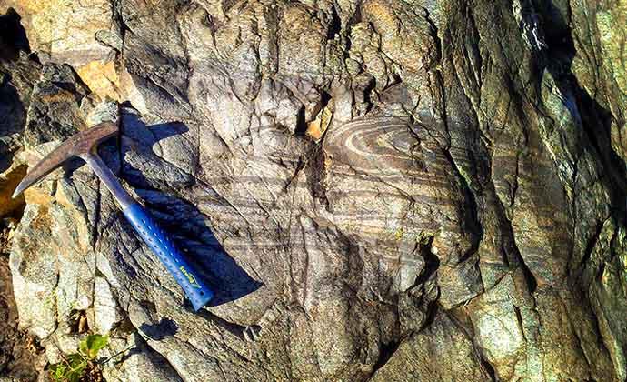
More than 1500 geosites are classified in the following categories: natural geological outcrops, remains of human activities (mainly of mining origin) and caves and karst phenomena. Every geosite is briefly described and accompanied by a photo, note of its protection and other references. The layers tool enables the user to turn on additional map layer - Decorative stones of the Czech Republic including locations of extraction of decorative stones or locations of their use in architecture and links to other information. Map services of the server Mapy.cz are used as basemaps that makes hiking maps with marked trails and ortophotomap accessible. Application supports accurate positioning by GPS of the device.