CGS Workshop in Sarajevo: Geodata Processing in ArcGIS Pro
ArcGIS Pro Professional Workshop in Sarajevo on April 22-23, 2026.
|
Author: Maida Zejnić
CGS Workshop in Sarajevo: Geodata Processing in ArcGIS Pro
Martina Fifernová
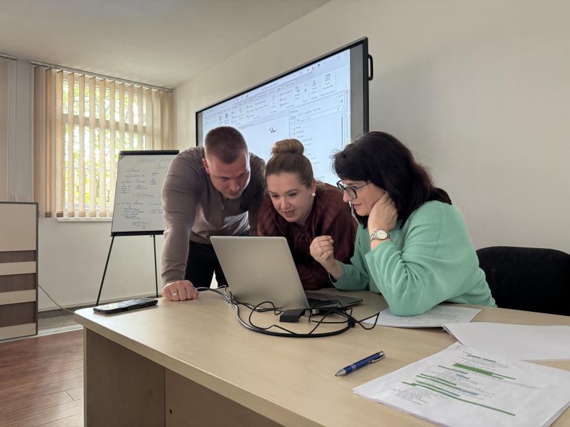
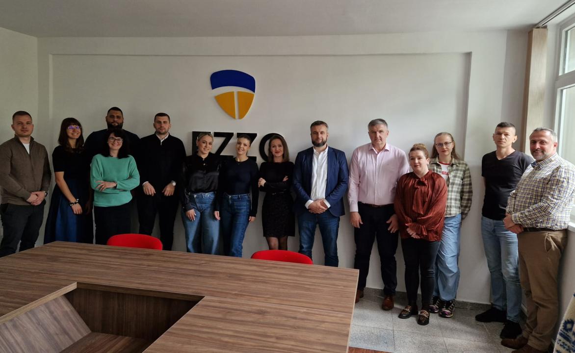
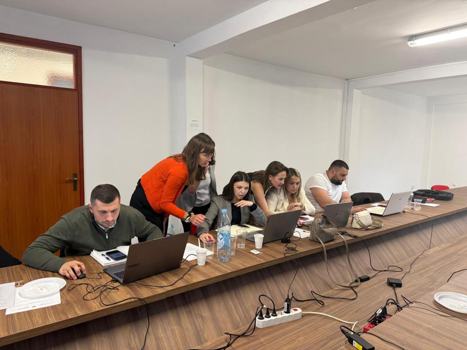
On 22–23 April 2026, the Czech Geological Survey organized a practical workshop in Sarajevo focused on advanced processing and publishing of geological mapping spatial data in ArcGIS Pro. The event was held as part of the project Innovation of Geological Information Systems in Bosnia and Herzegovina, supported by the Czech Development Agency. Participants included representatives of the Geological Survey of the Federation of Bosnia and Herzegovina (FZZG) and the Geological Survey of the Republic of Srpska (RZZGI).
Led by CGS instructors Martina Fifernová and Barbora Paulusová, the programme focused on improving efficiency in ArcGIS Pro workflows — from field data collection and database management to cartographic symbolization, digital terrain model analysis, and spatial interpolation. Participants gained hands-on experience with the entire process of preparing and sharing map outputs.
The event was also attended by representatives of the Embassy of the Czech Republic in Bosnia and Herzegovina, Esma Smajkan and Adam Lorenz. Their presence confirmed the long-term support of Czech diplomacy in strengthening the professional capacities of local institutions and fostering international cooperation.