MultiMiner Project presents its findings in an interactive StoryMap
MultiMiner Project presents its findings in an interactive StoryMap
Barbora Kořínková
A StoryMap 'Eyes on the Earth: The Future of Responsible Mining' has been released as part of the MultiMiner project, funded by the European Union’s Horizon Europe research and innovation programme. It summarizes the contributions of the Czech Geological Survey's Remote Sensing team to this project, which is currently drawing to a successful conclusion.
The research team, led by Veronika Strnadová and comprising Martin Kýhos, Petra Sedláčková, Jan Jelének, and Barbora Kořínková, focused on developing an innovative environmental monitoring framework to assess impacts associated with surface raw material extraction. These outputs address the challenge of balancing the growing demand for raw materials with environmental protection.
The research methodology was based on integrating data from different scales:
Ground Monitoring: The collection of in situ data using spectroradiometers, combined with the subsequent laboratory analysis of collected samples, provides the ground truth. These datasets are essential for the precise calibration and validation of remote and close-range sensing data.
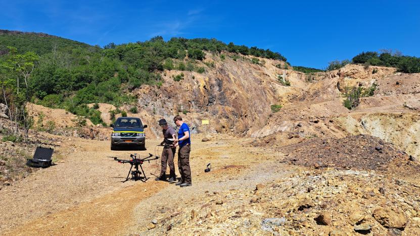
Unmanned Aerial Vehicles (UAV): Hyperspectral sensors mounted on UAVs enable data acquisition at a centimeter-scale spatial resolution. This level of observation serves as a methodological bridge to upscaling.
Satellite Data: Utilizing satellite imagery from the PlanetScope constellation, MODIS and EMIT sensors, along with model outputs from the Copernicus Atmosphere Monitoring Service (CAMS), provides a comprehensive regional overview. These data are used for large-scale monitoring and prediction of dust pollution, surface water quality assessment, and the detection of acid mine drainage (AMD).