
Czech development cooperation on geoscience in Ethiopia
| Project name: | Czech development cooperation on geoscience in Ethiopia |
|---|---|
| Project duration: | since 2015 |
| Project implementer: | Czech Geological Survey (CGS) |
| Project co-implementer in Ethiopia: | Ministry of Water and Energy (MoWE) |
| Project partners: | Geology and Geography sections, Charles University in Prague (CZ), All for Soil (CZ), SG Geotechnika a.s. (CZ), Global MapAid (UK), George Mason University (US), Geological Institute of Ethiopia (ET), Arba Minch University (ET), Addis Ababa University (ET), AquaCon Engineering plc. (ET) |
| Team leaders: |
Kryštof Verner
(head of the project) Leta Megerssa (deputy head of the project) Muhuddin Abdella (Ethiopian project coordinator) |
| Funding resource: | Czech Development Agency (CZDA) |
Introduction
The Czech Geological Survey is governmental institute responsible for several large-scale development cooperation projects in Ethiopia since 2015. These projects focus on basic and applied research across a wide range of geological fields, with an emphasis on educational activities and the transfer of Czech expertise to African countries.
The Czech Geological Survey with collaborating partners significantly contribute to the assessment and protection of natural resources such as mineral resources, soil and water, as well as to geohazard mitigation and developing strategies to adapt to and mitigate the impacts of climate change. This information enables governments to make strategic decisions about resource allocation, land-use planning, and infrastructure development as well as to identify and protect groundwater sources, assess water quality, and develop strategies for sustainable water use.
This collaboration facilitates the exchange of knowledge, data, and expertise, contributing to a broader understanding of geological processes and resources on the Earth. In this context, there is great potential for further cooperation between the Czech Republic and Ethiopia with significant implications for the sustainable and efficient use of natural resources in close connection with their industry, trade and education.
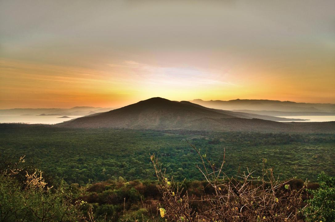
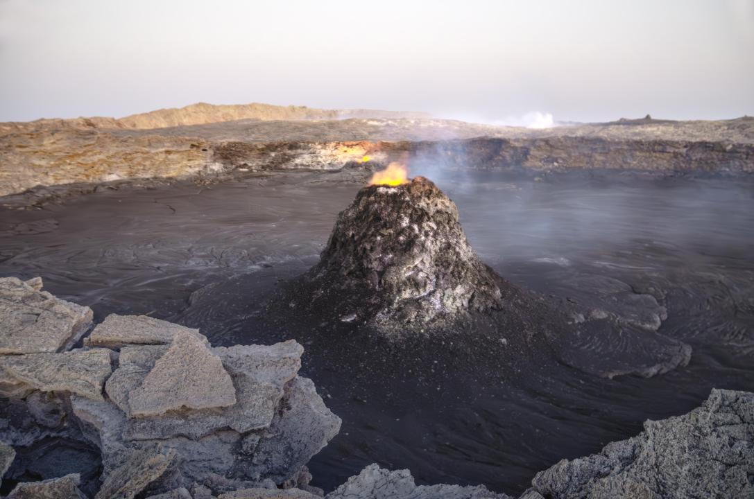
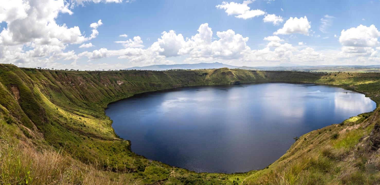
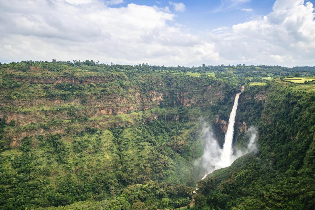
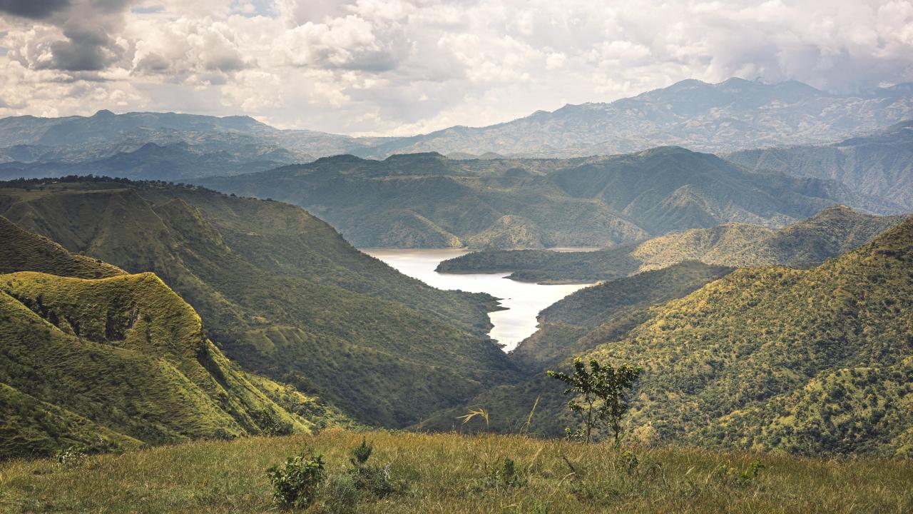
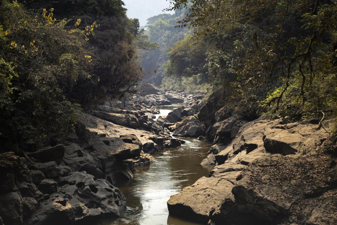
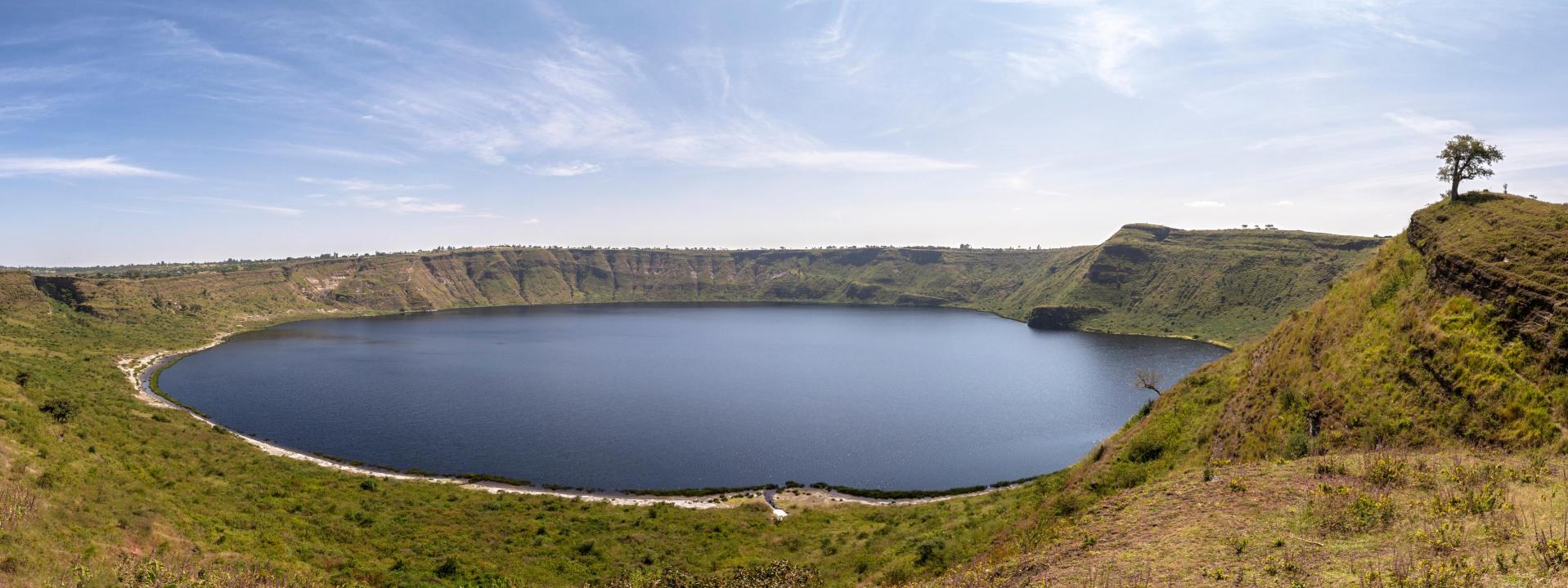
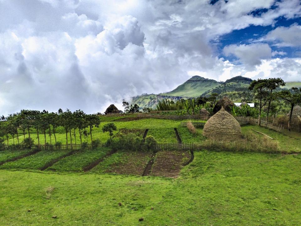
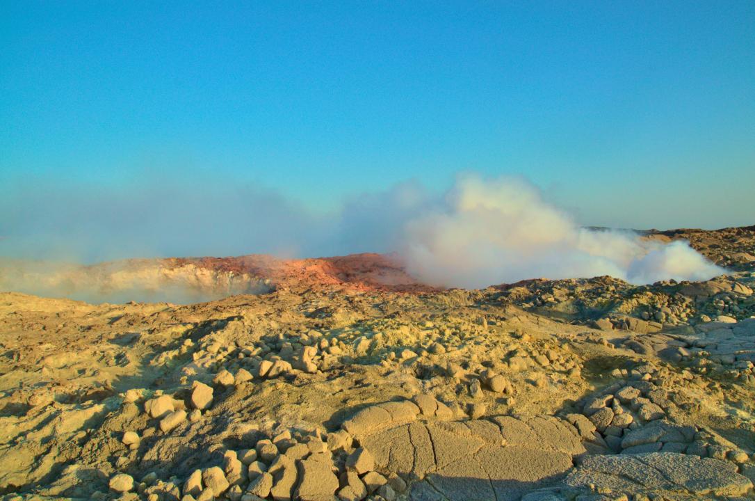
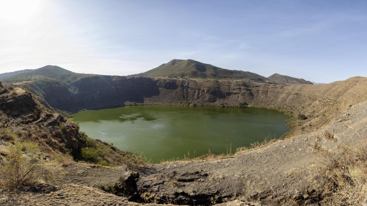
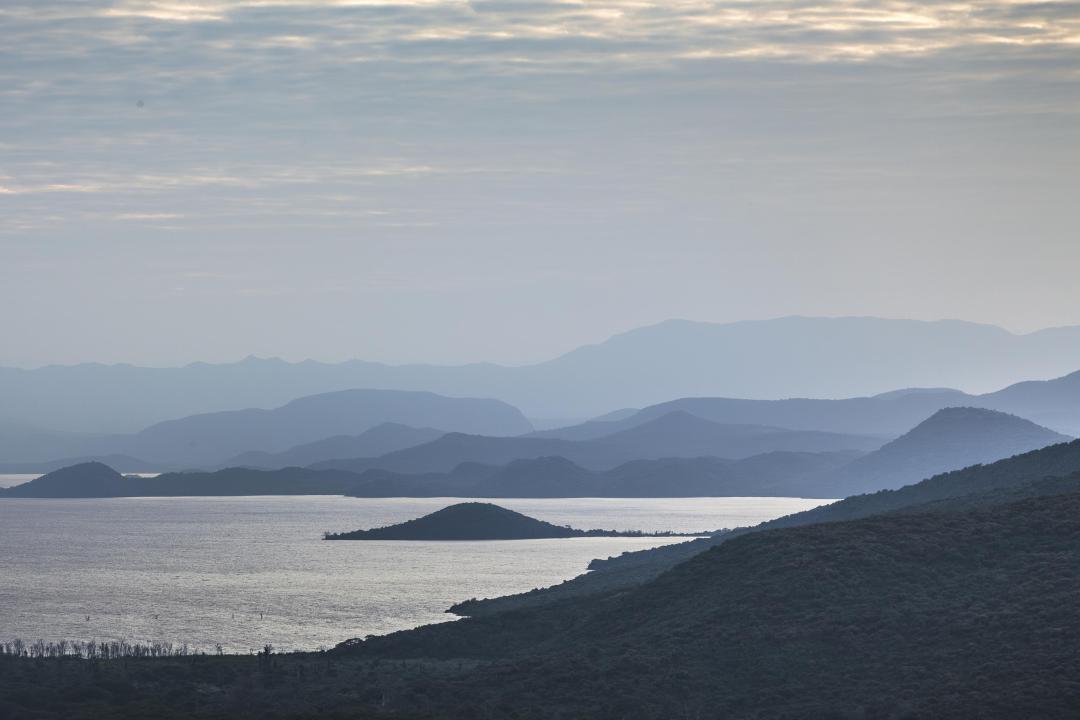
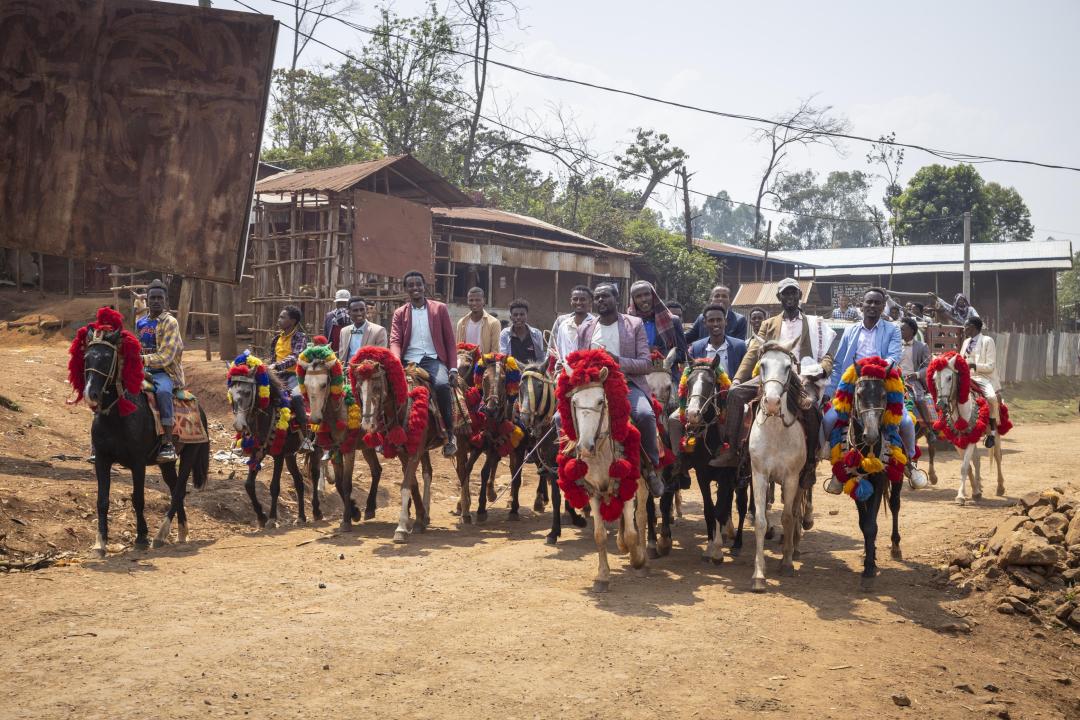
Photogallery
Goals (Intents)
The main objective of development activities is the systematic mapping of the geological environment, which involves acquiring essential knowledge about the geological structure, hydrogeological parameters, and soil environment in Ethiopia. This research has extensive implications for the effective management of water resources, sustainable agricultural practices, infrastructure development, and the assessment and mitigation of geological risks in tectonically active areas.
The results of these projects are presented in the form of geological, hydrogeological, and pedological maps, as well as implementation studies and international publications.
Landscape and territorial development plans are further developed in close cooperation with local government authorities, including the identification of risk areas prone to sudden land subsidence, landslides, and severe soil erosion. These outputs enable the careful management and protection of vital natural resources such as soil and water.
Capacity building
An important aspect of these activities is the transfer of knowledge and experience to local experts and university students, significantly enhancing the long-term potential for utilizing the results of development projects. Various tools and trainings have been introduced and disseminated to end users to aid the implementation of informed decisions on local development works.
Talented Ethiopian students have the opportunity to further their knowledge through graduate programs in geoscience at the Charles University. Furthermore, postgraduate lecture courses and workshops are regularly held, to aid the theoretical and practical knowhow in geoscience including creation of capacity to prepare publication on scientific journals.
Upcoming development activities and vision
In light of ongoing research and development activities, the creation of 3D geological and hydrogeological models, the calculation of groundwater reserves using quantitative evaluation and innovative artificial intelligence tools, is planned to address the challenges posed by climate change. These efforts aim to develop an optimal scheme for groundwater resource utilization.
Concepts for international development projects focused on integrated geoscience data management, sustainable natural resource management, and geological risk monitoring are also being prepared. These projects will be funded by EU resources and implemented by expert teams in collaboration with selected European partners. Any partnership and collaboration on this endeavor is more than welcome!
Projects
Compilation of the geological and hydrogeological map of entire Ethiopia at a scale 1 : 1 million
Objective: To upgrade the existing geological and hydrogeological information across Ethiopia. These long-sustainable outputs will bring a comprehensive and up-to-date knowledge of the geological and hydrogeological environment of Ethiopia with important implications for applied sciences and infrastructure building.
Scope: Based on subsequently accumulated geoscience data since the last national maps were published 30 years ago, a new geological and hydrogeological map of Ethiopian territory is compiled at a scale 1 : 1 million in this project. The maps are compiled by harmonizing existing multiple map-sheet archives at a scale 1 : 250,000 across the country at the Ethiopian Institute of Geological Survey. The compilation was augmented with field checks, modern day contiguous remote sensing, and geophysical data interpretation following the international standard of digital cartographic work. Accompanying the maps, a book is prepared that gives a comprehensive overview of the geological and hydrogeological setting of the country. The geological and hydrogeological map will be made freely accessible in an on-line web map application.
Improving the quality of life by ensuring the availability and sustainable management of water resources in the Sidama region and Gamo-Gofa zones, Ethiopia (2023-2026)
Objective: To implement cutting edge techniques IT for solving and optimizing social problems in natural resources utilization.
Scope: Combination of AI and physical models to predict groundwater table, creation of 3D-geological model for enhanced groundwater exploration, creation of geological, hydrogeological and soil map for the Gofa zone, help create excellence center for groundwater engineering at Arba Minch University Water Research center, creation of landslide resilience mechanisms in the Gofa zone.
Study of natural phenomena threatening agricultural production in selected areas in southern Ethiopia (2015 to 2019)
Objective: To mitigate the impact of negative geological processes on agricultural production, to ensure the sustainable usage, protection of agricultural land, water resources and infrastructure in the tectonically active the East African rift system.
Scope: 16 geological and thematic maps on a scale of 1 : 50,000 have been compiled between 2015 and 2019.
The implementation of innovative methodological approach in geological sciences in order to improve the quality of postgraduate studies (2017 to 2020)
Objective: The main focus of this project was the transfer of innovative methods of the field and laboratory research in geological sciences.
Scope: Several postgraduate courses were implemented, including also the theoretical and practical education of preparation of international publications. Subsequently, three research projects were solved with the direct participation of Ph.D. students from Ethiopian universities, from the acquisition of field and analytical data to the preparation of high-level IF publication. Course pedagogy is prepared for petrology, structural geology, thermobarometry, geophysics, sedimentary geology.
Ensuring sustainable landscape management plans in selected areas of Ethiopia based on geoscientific mapping (2019 to 2024)
Goal: Create spatial information on multiple natural resources for planning and utilization in a responsible and sustainable practice for rural communities.
Objective: Creation of set of geological, hydrogeological and soil maps at a scale 1 : 100,000 and explanatory books based on new field data in the Sidama region, the Gedeo and the Gamo zones in southern Ethiopia. This was followed by the compilation of detailed territorial / landscape management plans (base maps and recommendations) for 18 selected kebeles across the mapped regions: 9 kebeles in the Sidama region, 3 kebeles in the Gedeo zone, and 6 kebeles in the Gamo zone. The project's outputs also include published methodological manuals for geoscientific mapping and processing of territorial / landscape plans. Tandem with project outputs the capacity building in the competence of a wide range of local expertise in natural resources evaluation and management is realized.
Online map applications
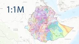
Map application provides the results of the national geological and hydrogeological map of Ethiopia, compiled at a scale of 1 : 1,000,000. The geological map is based on existing geological maps at various scales, published literature, remote sensing data, gravity modelling, extensive field verification and newly acquired analytical data sets. Comprehensive hydrogeological factors influencing groundwater distribution and availability have been integrated with the geological data to produce a detailed hydrogeological map at the same scale.
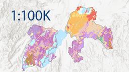
Map application provides the results of a collaborative research effort conducted between 2019 and 2024 as part of the Development Aid Project funded by the Czech Republic through the Czech Development Agency. It makes available geological, soil and hydrogeological map at a scale of 1 : 100,000 in the Gamo and Gedeo zones and the Sidama region.
Download national maps and book
Compilation of the geological and hydrogeological maps of entire Ethiopia 2025 at a scale 1 : 1 million
Book of geology and hydrogeology of Ethiopia 2025
Download regional maps and books
Study of natural phenomena threatening agricultural production in selected areas in southern Ethiopia (2015 to 2019)
Geoscientific maps of Leku, Dila, Mejo and Arba Minch at a scale 1 : 50,000 and explanatory notes
Ensuring sustainable landscape management plans in selected areas of Ethiopia based on geoscientific mapping (2019 to 2024)
Geoscientific maps of Sidama, Gedeo and Gamo at a scale 1 : 100,000
Download kebele maps and booklets
Landscape management plans (LMP) of selected kebeles
Administrative, slope and landuse / landcover maps of selected woredas (1986-2021)
Map citations
Citation of the geoscience maps and booklets of Ethiopia
Verner, K. - Megerssa, L. - Buriánek, D. - Šíma, J. - Janderková, J. - Martínek, K. - Dvořák, Š. - Hroch, T. - Zenebe, B. - Nádaskay, R. - Gonfa, N. - Melka, B. - Balke, G. - Pacherová, P. - Štych, P. - Laštovička, J. - Getaneh, S. - Valenta, J. - Jelének, J. - Hejtmánková, P. - Čermáková, D. - Jelínek, J. - Amare, T. - Bukovská, Z. - Franěk, J. - Aue, M. - Vacek, F. - Mixa, P. - Abdella, M. - Adugna, A. - Bekele, B. - Wubshet, Y. - Tute, M. - Minda, B. - Berhanu, N. - Abiye, M. - Zelenková, K. - Spálovský, V. - Gonzales, L. S. - Finsa, M. - Valchářová, D. - Svoboda, J. - Krejčí, Z. - Koseková, E. - Petyniak, O. (2023): Geology, Soil Environment and Hydrogeology of the Gamo Zone, Ethiopia. Thematic geoscientific maps at a 1 : 100,000 scale and explanatory notes. 142 pages, 3 annexes, 3 maps. Czech Geological Survey. Prague. ISBN 978-80-7673-084-7.
Verner, K. - Megerssa, L. - Šíma, J. - Buriánek, D. - Hroch, T. - Dvořák, Š. - Martínek, K. - Pacherová, P. - Basalifew, Z. - Negessa, G. - Bezuneh, M. - Getie, B. - Samuel, G. - Tsehay, A. - Valenta, J. - Jelének, J. - Hejtmánková, P. - Štych, P. - Laštovička, P. - Valchářová, D. - Čermáková, D. - Muhuddin, A. - Yonas, W. - Abebe, M. - Melese, T. - Belay, M. - Niguse, B. - Andualem, T. - Tarekegn, D. - Tadege, A. - Abadi, H. - Spálovský, V. - Nol, O. - Vaverka, L. - Zelenková, K. - Hrabalíková, M. - Ureš, J. (2022): Geology, Soil Environment and Hydrogeology of the Sidama Region, Ethiopia. Thematic geoscientific maps at a 1 : 100,000 scale and explanatory notes. 136 pages, 3 annexes, 3 maps. Czech Geological Survey. Prague. ISBN 978-80-7673-051-9.
Buriánek, D. - Martínek, K. - Šíma, J. - Janderková, J. - Verner, K. - Megerssa, L. - Hroch, T. - Pacherová, P. - Getie, B. - Samuel, G. - Melaku, A. - Jelének, J. - Tadege, A. - Niguse, B. - Tarekegn, D. - Hejtmánková, P. - Laštovička, J. - Bezuneh, M. - Dvořák, Š. - Štych, P. - Melese, T. - Valenta, J. - Čermáková, D. - Zelenková, K. - Hrabalíková, M. - Ureš, J. - Valchářová, D. - Spálovský, V. - Tsehay, A. - Muhuddin, A. - Yonas, W. - Nol, O. - Vaverka, L. (2022): Geology, Soil Environment and Hydrogeology of the Gedeo Zone, Ethiopia. Thematic geoscientific maps at a 1 : 100,000 scale and explanatory notes. 104 pages, 2 annexes, 3 maps. Czech Geological Survey. Prague. ISBN 978-80-7673-046-5.
Citation of the national geological and hydrogeological map and accompanying book of Ethiopia
Verner, K. - Buriánek, D. - Megerssa, L. - Vacek, F. (eds.) - Tadesse, T. - Ayalew, D. - Dvořák, Š. - Nádaskay, R. - Hroch, T. - Hejtmánková, P. - Petyniak, O. - Koseková, E. - Martínek, K. - Hussien, B. - Alemu, T. - Fentaw, B. - Šíma, J. - Mixa, P. - Žáček, V. - Franěk, J. - Demisse, T. - Gonfa, N. - Abdella, M. - Zenebe, B. - Bekele, B. (2025): Geological map of Ethiopia. 1 : 1,200,000. Czech Geological Survey. Prague. ISBN 978-80-7673-111-0.
Šíma, J. - Jelínek, J. - Abdella, M. - Tessema, Z. (eds.) - Verner, K. - Megerssa, L. - Hejtmánková, P. - Petyniak, O. - Fentaw, B. - Amare, T. - Wubshet, Y. - Kidanemariam, M. - Yoseph, Z. - Nol, O. - Vránek, T. - Koseková, E. - Zenebe, B. - Adugna, A. (2025): Hydrogeological map of Ethiopia. 1 : 1,200,000. Czech Geological Survey. Prague. ISBN 978-80-7673-112-7.
Verner, K. - Šíma, J. - Megerssa, L. - Buriánek, D. - Dvořák, Š. - Martínek, K. - Jelínek, J. - Vacek, F. - Tadesse, T. - Wolela, A. - Alemu, T. - Ayalew, D. - Nádaskay, R. - Fentaw, B. - Hroch, T. - Abdella, M. - Valenta, J. - Hussien, B. - Jelének, J. - Nol, O. - Vránek, T. – Hampson, C. - Bekele, B. - Adugna, A. - Demisse, T. - Franěk, J. - Hejtmánková, P. - Mixa, P. - Žáček, V. - Tessema, Z. - Paulusová, B. - Třískalová, I. - Pařízek, A. - Kidanemariam, M. - Amare, T. - Wubshet, Y. - Yoseph, Z. - Kebede, Y. (2025): A Synopsis of the Regional Geology and Hydrogeology of Ethiopia. 364 p. Czech Geological Survey. Prague. ISBN 978-80-7673-113-4.
Publications citations
Papers in international journals
Li, W. - Finsa, M. M. - Laskey, K. B. - Houser, P. - Douglas-Bate, R. - Verner, K. (2024): Optimizing Well Placement for Sustainable Irrigation: A Two-Stage Stochastic Mixed Integer Programming Approach. Water, 16(19), 2715. https://doi.org/10.3390/w16192715.
Fikadu, W. - Chekol, T. - Meshesha, D. - Buriánek, D. - Alemayehu, L. and Verner, K. (2024): Petrogenesis of flood basalts and shield basanite from Mertolemariam-Abamineos area, northwestern Ethiopian plateau: Assessments for mantle source variations. Journal of African Earth Sciences 217, 105331. doi.org/10.1016/j.jafrearsci.2024.105331.
Fentaw, B. - Birhanu, B. - Azagegn, T. and Abebe, B. (2024): Groundwater recharge sources and mechanisms in the Ethiopian central Afar rift: Insights from isotopic and hydrogeochemical tracers. Journal of African Earth Sciences 216, 105299. doi.org/10.1016/j.jafrearsci.2024.105299.
Verner, K. - Buriánek, D. - Svojtka, M. - Peřestý, V. - Megerssa, L. - Tarekegn, T. - Kussita, A. - Alemayehu, D. - Hroch, T. (2021): Tectonometamorphic evolution and U–Pb dating of the high-grade Hammar Domain (Southern Ethiopian Shield); implications for the East-African Orogeny. Precambrian Research 361. ISSN 0301-9268. DOI 10.1016/j.precamres.2021.106270.
Martínek, K. - Verner, K. - Hroch, T. - Megerssa, L. - Strnadová, V. - Buriánek, D. - Muluneh, A. - Kalinová, R. - Yakob, M. - Kassa, M. (2021): Main Ethiopian Rift landslides formed in contrasting geological settings and climatic conditions. Natural Hazards and Earth System Sciences 21, 11, p.3465–3487. ISSN 1561-8633. DOI 10.5194/nhess-21-3465-2021.
Valenta, J. - Verner, K. - Martínek, K. - Hroch, T. - Buriánek, D. - Megerssa, L. - Boháč, J. - Muluken, K. - Ferdawok, L. - Meheret, Y. - Bisrat, K. - Málek, J. (2021): Ground fissures within the Main Ethiopian Rift: Tectonic, lithological and piping controls. Earth Surface Processes and Landforms 46, 15, p.3158-3174. ISSN 0197-9337. 10.1002/esp.5227.
Megerssa, L. - Verner, K. - Buriánek, D. - Sláma, J. (2020): Emplacement and thermal effect of post-collisional Chewo Pluton (Arabian-Nubian Shield); implication for late East-African Orogeny. Journal of African Earth Sciences 162. ISSN 1464-343X. DOI 10.1016/j.jafrearsci.2019.103695.
Megerssa, L. - Rapprich, V. - Novotný, R. - Verner, K. - Erban, V. - Legesse, F. - Manaye, M. (2019): Inventory of Key Geosites in the Butajira Volcanic Field: Perspective for the First Geopark in Ethiopia. Geoheritage 11, 4, p.1643-1653. ISSN 1867-2477. DOI 10.1007/s12371-019-00393-y.
Kycl, P. - Rapprich, V. - Verner, K. - Novotný, J. - Hroch, T. - Mišurec, J. - Eshetu, H. - Tadesse Haile, E. - Alemayehu, L. - Goslar, T. (2017): Tectonic control of complex slope failures in the Ameka River Valley (Lower Gibe Area, central Ethiopia): Implications foralley landslide formation. Geomorphology 288, p.175-187. ISSN 0169-555X. DOI 10.1016/j.geomorph.2017.03.020.
Rapprich, V. - Žáček, V. - Verner, K. - Erban, V. - Goslar, T. - Bekele, Y. - Legesa, F. - Hroch, T. - Hejtmánková, P. (2016): Wendo Koshe Pumice: The latest Holocene silicic explosive eruption product of the Corbetti Volcanic System (Southern Ethiopia). Journal of Volcanology and Geothermal Research 310, p.159-171. ISSN 0377-0273. DOI 10.1016/j.jvolgeores.2015.12.008.
Other scientific publications
Verner, K. - Megerssa, L. - Buriánek, D. - Šíma, J. - Janderková, J. - Martínek, K. - Dvořák, Š. - Hroch, T. - Zenebe, B. - Nádaskay, R. - Gonfa, N. - Melka, B. - Balke, G. - Pacherová, P. - Štych, P. - Laštovička, J. - Getaneh, S. - Valenta, J. - Jelének, J. - Hejtmánková, P. - Čermáková, D. - Jelínek, J. - Amare, T. - Bukovská, Z. - Franěk, J. - Aue, M. - Vacek, F. - Mixa, P. - Abdella, M. - Adugna, A. - Bekele, B. - Wubshet, Y. - Tute, M. - Minda, B. - Berhanu, N. - Abiye, M. - Zelenková, K. - Spálovský, V. Gonzales, L. S. - Finsa, M. - Valchářová, D. - Svoboda, J. - Krejčí, Z. - Koseková, E. - Petyniak, O. (2023): Geology, Soil Environment and Hydrogeology of the Gamo Zone, Ethiopia. 142 p. Czech Geological Survey. Prague. ISBN 978-80-7673-083-0.
Janderková, J. - Čermáková, D. - Hroch, T. - Pacherová, P. - Zelenková, K. - Hrabalíková, M. - Megerssa, L. - Verner, K. (2022): Guideline for Landscape Management Planning and Soil and Geo-Hazards Mapping. 94 p. Czech Geological Survey. Prague. ISBN 978-80-7673-044-1.
Verner, K. - Megerssa, L. - Šíma, J. - Janderková, J. - Buriánek, D. - Hroch, T. - Dvořák, Š. - Martínek, K. - Pacherová, P. - Basalifew, Z. - Negessa, G. - Bezuneh, M. - Getie, B. - Samuel, G. - Valenta, J. - Jelének, J. - Hejtmánková, P. - Štych, P. - Laštovička, J. - Valchářová, D. - Čermáková, D. - Tsehay, A. - Muhuddin, A. - Yonas, W. - Abebe, M. - Melese, T. - Belay, M. - Niguse, B. - Adualem, T. - Tarekegn, D. - Tadege, A. - Abadi, H. - Spálovský, V. - Nol, O. - Vaverka, L. - Zelenková, K. - Hrabalíková, M. - Ureš, J. (2022): Geology, Soil Environment and Hydrogeology of the Sidama Region, Ethiopia. 136 p. Czech Geological Survey. Prague. ISBN 978-80-7673-050-2.
Buriánek, D. - Martínek, K. - Šíma, J. - Janderková, J. - Verner, K. - Megerssa, L. - Hroch, T. - Pacherová, P. - Balke, G. - Getaneh, S. - Abuye, M. - Jelének, J. - Arefayne, T. - Berhanu, N. - Dure, T. - Hejtmánková, P. - Laštovička, J. - Melka, B. - Dvořák, Š. - Štych, P. - Tute, M. - Valenta, J. - Čermáková, D. - Zelenková, K. - Hrabalíková, M. - Ureš, J. - Valchářová, D. - Spálovský, V. - Amare, T. - Abdella, M. - Wubshet, Y. - Nol, O. - Vaverka, L. (2022): Geology, Soil Environment and Hydrogeology of the Gedeo Zone, Ethiopia. 104 p. Czech Geological Survey. Prague. ISBN 978-80-7673-045-8.
Hanžl, P. - Verner, K. - Buriánek, D. - Šíma, J. - Janderková, J. - Kryštofová, E. - Paleček, M. - Hroch, T. - Martínek, K. - Megerssa, L. - Hrdličková, K. - Metelka, V. (2018): Basic principles of geological and thematic mapping. 107 p. Czech Geological Survey. Prague. ISBN 978-80-7075-951-6.
Verner, K. - Megerssa, L. - Hroch, T. - Buriánek, D. - Martínek, K. - Yakob, M. - Haregot, A. - Janderková, J. - Šíma, J. - Kryštofová, E. - Valenta, J. - Bewketu, H. - Mosisa, A. - Dalke, G. - Assefa, G. - Pécskay, Z. - Hejtmánková, P. - Krejčí, Z. (2018): Explanatory notes to the thematic geoscientific maps of Ethiopia at a scale of 1 : 50,000, Map Sheet 0638-D2 Mejo. 131 p. Czech Geological Survey. Prague. ISBN 978-80-7075-950-9.
Verner, K. - Megerssa, L. - Hroch, T. - Buriánek, D. - Martínek, K. - Janderková, J. - Šíma, J. - Kryštofová, E. - Gebremariyam, H. - Tadesse, E. - Legesse, F. - Nisra, E. - Abateneh, B. - Assefa, G. - Valenta, J. - Pécskay, Z. - Hejtmánková, P. - Krejčí, Z. (2018): Explanatory notes to the thematic geoscientific maps of Ethiopia at a scale of 1 : 50,000, Map Sheet 0637-D3 Arba Minch. 137 p. Czech Geological Survey. Prague. ISBN 978-80-7075-948-6.
Buriánek, D. - Hroch, T. - Verner, K. - Megerssa, L. - Martínek, K. - Yakob, M. - Haregot, A. - Janderková, J. - Šíma, J. - Kryštofová, E. - Valenta, J. - Tadesse, E. - Mosisa, A. - Dalke, G. - Legesse, F. - Assefa, G. - Pécskay, Z. - Hejtmánková, P. - Krejčí, Z. (2018): Explanatory notes to the thematic geoscientific maps of Ethiopia at a scale of 1 : 50 000, Map Sheet 0638-C2 Dila. 103 p. Czech Geological Survey. Prague. ISBN 978-80-7075-949-3.
Hroch, T. - Megerssa, L. - Buriánek, D. - Verner, K. - Martínek, K. - Mihret, Y. - Janderková, J. - Šíma, J. - Kryštofová, E. - Gebremariyam, H. - Tadesse, E. - Legesse, F. - Valenta, J. - Pécskay, Z. - Hejtmánková, P. (2018): Explanatory notes to thematic geoscientific maps of Ethiopia at a scale of 1 : 50,000, Map sheet 0638-A2 Leku. 106 p. Czech Geological Survey. Prague. ISBN 978-80-7075-947-9.
Download mobile map apps (Android)
Landscape management plans